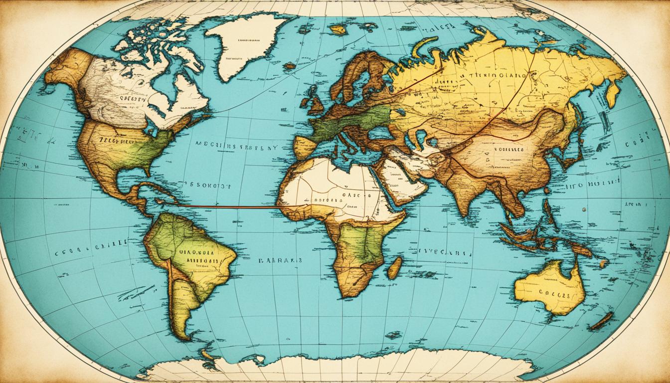
Maps have been crucial for human exploration and understanding the world for thousands of years. They started with ancient civilizations trying to map their surroundings. Now, we have advanced mapping technologies.
This journey through the history of maps will show you important milestones and the work of key cartographers. You’ll see how mapmaking has evolved over time. Get ready to explore the globe and learn about the maps that helped shape our world.
Let’s dive into the evolution of mapmaking. We’ll look at key milestones and the work of influential cartographers. This journey will take you through centuries, revealing the stories behind the maps that shaped our understanding of the world.
Maps Through the Ages: Navigating Uncharted Lands
The history of maps goes way back to ancient times. Early civilizations needed to document their world, leading to the first maps. These early maps, like the Babylonian clay tablets and the Anaximander map, show how our understanding of the world changed over time.
Ancient Civilizations’ Cartographic Advancements
Ancient Mesopotamia, Egypt, and China were leaders in making maps. They used maps for navigation, to mark their lands, and to share their world views. The Egyptians made the Turin Papyrus Map, showing Egypt’s gold mines. The Chinese made detailed maps of their empire, showing their deep knowledge of geography.
The Impact of Exploration on Map Development
The Age of Exploration changed maps a lot from the 15th to the 18th centuries. Explorers like Christopher Columbus and Vasco da Gama brought back new info. This info changed how we saw the world on maps, making them more accurate.
Exploring the Americas, Africa, and Asia expanded our world and led to cultural sharing. This led to better map-making techniques. Tools like navigational instruments and scientific data helped make maps more precise.
The Evolution of Map-Making Techniques
Mapmaking, or cartography, has changed a lot over the years. From simple hand-drawn maps to today’s digital ones, how we show the world has changed a lot. Let’s look at how map making has changed and its impact on how we see the world.
Early maps were made with basic tools like sticks and stones. Ancient people like the Babylonians, Egyptians, and Chinese used these methods to map their lands and trade paths. As people explored more, maps got better with compasses and geographic coordinates.

The printing press in the 15th century changed how maps were made and shared. This let mapmakers make more detailed and accurate maps, helping with exploration and colonization. Surveying techniques like triangulation also made maps more precise.
In the 19th and 20th centuries, map making got even better with aerial photos, satellite images, and GIS. These tools made maps more detailed and interactive. Now, maps are key for navigation, city planning, and science.
Now, map making is changing again with AI, machine learning, and crowdsourcing. These new methods make maps more dynamic and up-to-date. The future of cartography looks exciting, with more changes in how we see and use maps.
Influential Cartographers and Their Contributions
Many influential cartographers have shaped the field of mapmaking over the years. They have greatly impacted how we see and navigate the world. Their innovations and insights have changed the way we map and explore our planet.
Renowned Mapmakers Who Shaped the World
Ptolemy, a Greek mathematician and astronomer from the 2nd century AD, is a key figure in cartography. His work, “Geographia,” introduced important ideas like latitude, longitude, and map projections. Ptolemy’s maps were crucial for many years and influenced many mapmakers.
Gerardus Mercator, a Flemish cartographer from the 16th century, is another major name. He created the Mercator projection, a map type still used today. This projection made it easier to show landmasses accurately, especially at high latitudes, which helped with navigation and exploration.
Other important cartographers include Abraham Ortelius and Martin Waldseemüller. Ortelius is known as the father of the modern atlas. Waldseemüller made the first map to use the name “America.” Their work has greatly influenced mapmaking and continues to inspire new generations.
The impact of these famous mapmakers is still seen today as mapmaking evolves with new technology. Their groundbreaking work has helped us understand the world and continues to guide explorers.
Maps and the Spread of Knowledge
Maps have been key in sharing knowledge and helping cultures meet throughout history. They let people share where things are, understand each other better, and help fields like trade and science grow. This sharing has made the world feel smaller and connected.
How Maps Facilitated Cultural Exchange
Maps connect different cultures by showing the world’s layout. They help people see the globe, its areas, and the cultures there. This sharing breaks down walls, letting goods, services, and ideas move freely across borders.
Maps are big in trade. They help merchants and explorers find new places, set up trade paths, and find markets. This sharing of goods and ideas boosts economies and spreads cultural traditions, art, and tech.
Maps also spread scientific knowledge and help fields grow. Scholars use them to share their discoveries, reaching people everywhere. This sharing boosts fields like astronomy and geology, making us all understand the world better.

Maps are more than just tools; they’re a way to show culture. They reflect the views of the people who make them. This sharing of stories helps cultures talk to each other, valuing different views of the world.
In short, maps have been key in sharing knowledge and connecting cultures. They make it easier to share where things are, move goods and ideas, and express culture. Maps have brought people and cultures together all over the world.
Educational: Maps as Teaching Tools
Maps have always been key in the classroom, helping students learn across many subjects. They’re used in geography, history, social studies, and language arts. Maps make learning more engaging and help students grasp the world better.
Maps have been used in education for a long time. Ancient civilizations used them to teach about their lands and trade paths. The Age of Exploration made maps even more important as students learned about new discoveries.
Now, maps are still vital in the classroom. They help students visualize complex ideas and understand our world’s geography and politics.
Adding maps to lessons boosts student interest and memory. They combine visual and spatial learning with text. This helps students see how geography, history, and culture are linked.
Maps also promote critical thinking, problem-solving, and spatial skills. These skills are crucial for success today.
With new technology, maps in education have become even more advanced. Digital tools let students interact with maps in new ways. Maps are now a key part of education, helping students understand the world and human experiences.
The Art of Cartography: Aesthetics in Map Design
Maps are more than just tools for finding our way. They are beautiful works of art that capture our attention. Cartography, the art and science of making maps, has changed a lot over time. It combines beauty with usefulness to show the world in a stunning way.
Blending Form and Function in Mapmaking
Mapmakers know how important looks are in their work. They use color, type, and detailed pictures to make maps look great. This makes aesthetics in maps more than just useful. It turns maps into pieces of art that are both useful and beautiful.
From ancient hand-drawn maps to today’s digital ones, map design has changed a lot. It shows how much people love the visual side of maps. Mapmakers aim to balance what users need with what makes maps visually interesting.
Adding aesthetics in maps makes them more attractive and useful. The right use of color, type, and symbols helps guide the viewer. It makes complex information easy to understand. This way, form and function in mapmaking work together. Maps become both lovely and very useful.
Maps in the Digital Age: Modern Mapping Technologies
The world of maps has changed a lot in the digital age. Now, digital maps and new technologies have changed how we see, move through, and study our world. These changes have made maps more accessible and useful than ever before.
GIS technology has brought together data, satellite images, and tools for analysis. This has changed how we plan cities, watch over the environment, and manage transportation. It has opened up new ways to use maps in many areas.
Online and mobile maps have made maps easy for everyone to use. With Google Maps, Apple Maps, and OpenStreetMap, finding your way, planning trips, and discovering new places is simple. These maps use data from users, update quickly, and are easy to use.
The digital revolution is still changing maps. We can look forward to more changes, like augmented reality and artificial intelligence in making maps. These changes will change how we see and understand the world, bringing new ideas to map-making.
The Future of Cartography: Innovations on the Horizon
The world of cartography is set for a big change. New technology is bringing in fresh ways to use and understand maps. We’ll see maps that are more interactive, personal, and based on data than ever.
Emerging Trends Shaping the Maps of Tomorrow
Augmented reality (AR) technology is a big deal in cartography now. It adds digital info and interactive stuff to the real world. Soon, AR maps will let us see our surroundings in new ways, with real-time data and tools that make maps come alive.
Artificial intelligence (AI) is also changing maps. AI will make maps that fit what each person likes and needs. It will also help with analyzing data and predicting things.
Maps will soon be more than just pictures. They’ll be interactive tools for exploring and making decisions. With new tech and more data, maps will change how we see and understand the world. This will start a new era of discovery and understanding.


